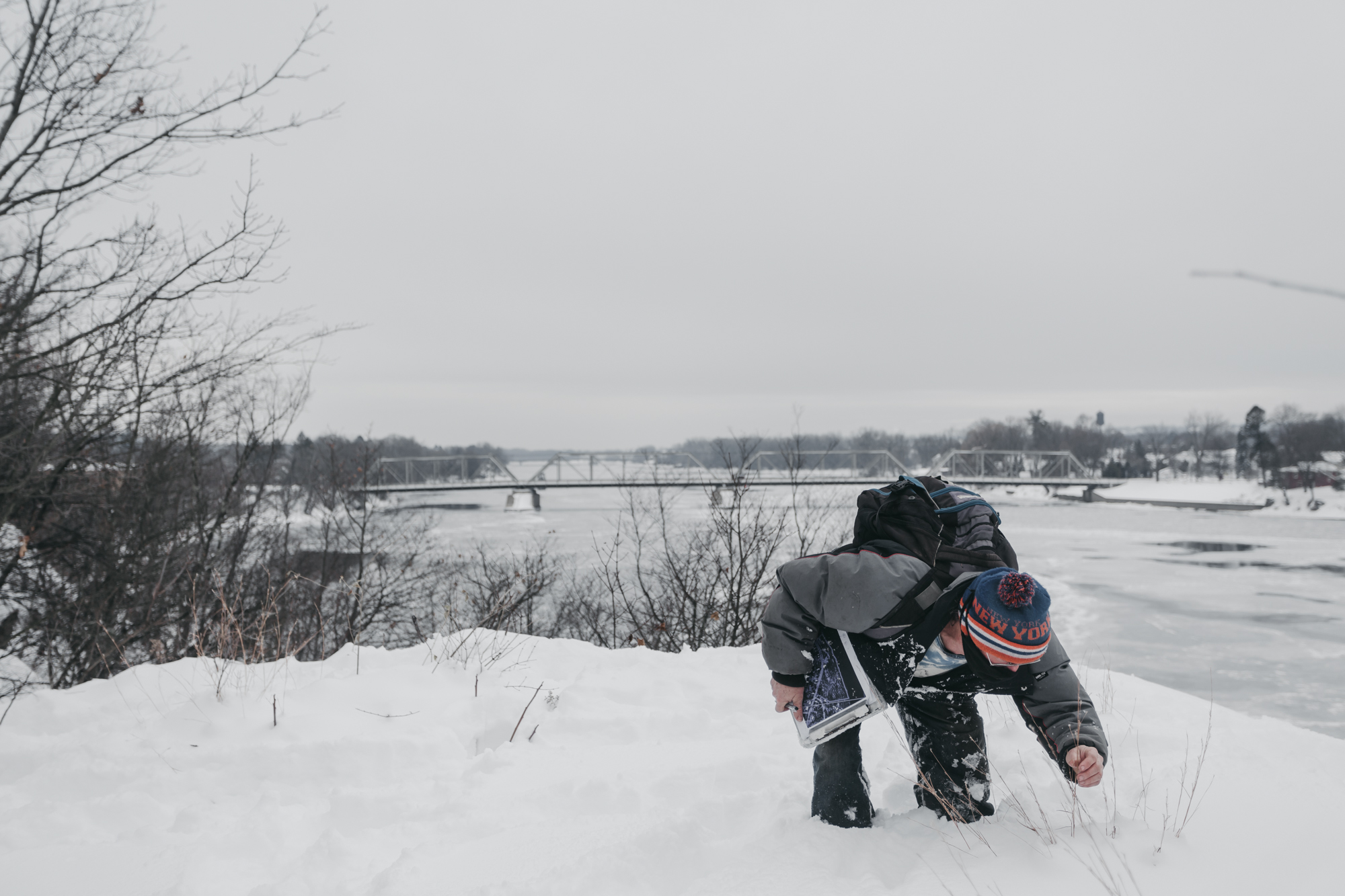
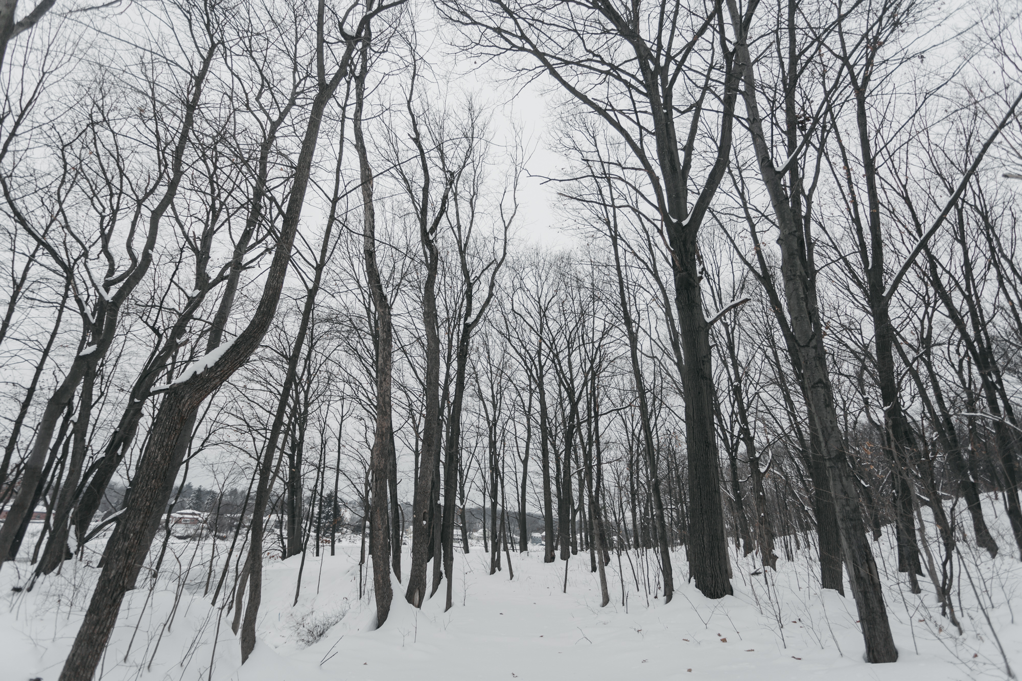
Finding Rare Species at 1011


OPEN LETTER SUBMITTED TO THE TROY CITY COUNCIL AND CITY COUNCIL PRESIDENT CARMELLA MANTELLO ON SEPTEMBER 8 2020:
Dear City Council President Carmella Mantello,
The development will hurt Lansingburhg and the entire city. It will impact the neighborhood and the city overall negatively.
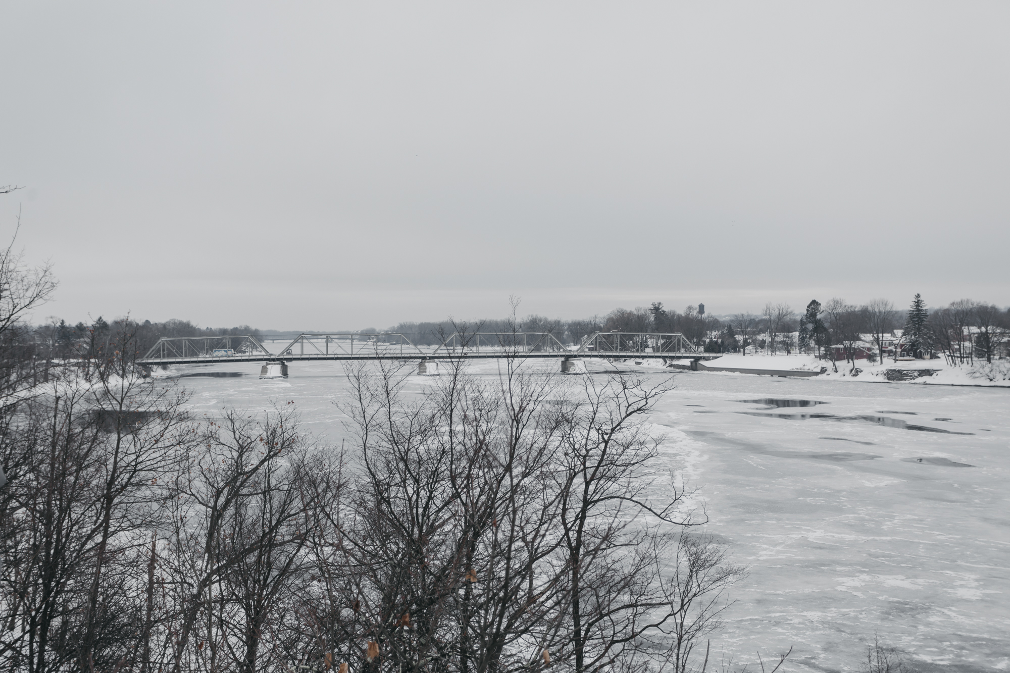
The development will destroy the current access to the Hudson River provided with this land. The proposed development claims to incorporate the public interested in access to the waterfront and natural spaces along the river. However, this statement is clearly misleading. The developer is creating a dead-end trail and does not create any incentive or attractive park or other features that would invite the public.
The developer is clearly creating amenities for his renters, not for the public and the Lansignburgh neighborhood — and will additionally use this as justification for higher rental prices for departments — with negative effects for surrounding homeowners and renters.
Overall, the proposed development discourages in its design the use of this property, as it is not designed as public use space.
HEIGHTENED INFRASTRUCTURE AND PUBLIC SERVICE COSTS
The residents of 240 newly built apartments will significantly increase pressures on public services and infrastructure.
The proposed development will significantly increase the infrastructure and public service costs, particularly in this R1-zoned residential area. It will in particular negatively impact the local community in terms of infrastructure and public service availability. Several studies have consistently shown the associated increased costs of and strain on critical services associated with developments such as the one proposed here (see evidence for Section 4). Abrupt development growth that does not follow smart and soft growth guidelines and do not utilize existing infrastructure and e.g. vacant properties or buildings, significantly strains services through rapid influx, including amongst others:
LOSS IN PROPERTY VALUE, RESALE VALUE AND RENTAL INCREASES
Besides the cost associated with strains on the local infrastructure, this development will also lead to additional direct and indirect costs for the local residents and the overall neighborhood.
The development will lead to significant loss of property value and resale value due to the loss of greenspace and waterfront, which also negatively impacts the city budget
Rental increases in surrounding housing are expected to increase due to the amenities at the property, clearly designed for the use of renters at the property.
VACANT PROPERTIES AND LACK OF DEVELOPMENT IN LANSINGBURGH
There are priority development areas in the direct vicinity of this property. A vacant price chopper as well as several vacant locations across the local Lansingburgh neighborhood are identified as priority and development nodes in the comprehensive plan.
As the plan states:
“Troy’s high vacancy rates are also contributing to neighborhood destabilization. There are approximately 23,100 housing units in Troy and approximately 2,100 of these units, or 9%, are vacant and unused. Prospective residents are deterred from purchasing homes in neighborhoods with high vacancy rates as they are perceived as areas with higher crime, and where continued disinvestment may occur. These conditions have resulted in a weak housing market and low housing values compared to the region”.
A rezoning discourages and actively prevents the development of already developed vacant areas with existing infrastructure and public services in place.
The development of this property, and the associated rezoning, stand in conflict with these development needs and undermine soft and smart growth and development.
Accordingly, the rezoning would stand in direct conflict with the provisions and priorities laid out in the Comprehensive Plan, the smart growth development principles established in the Comprehensive Plan, and the New York State Smart Growth Criteria.

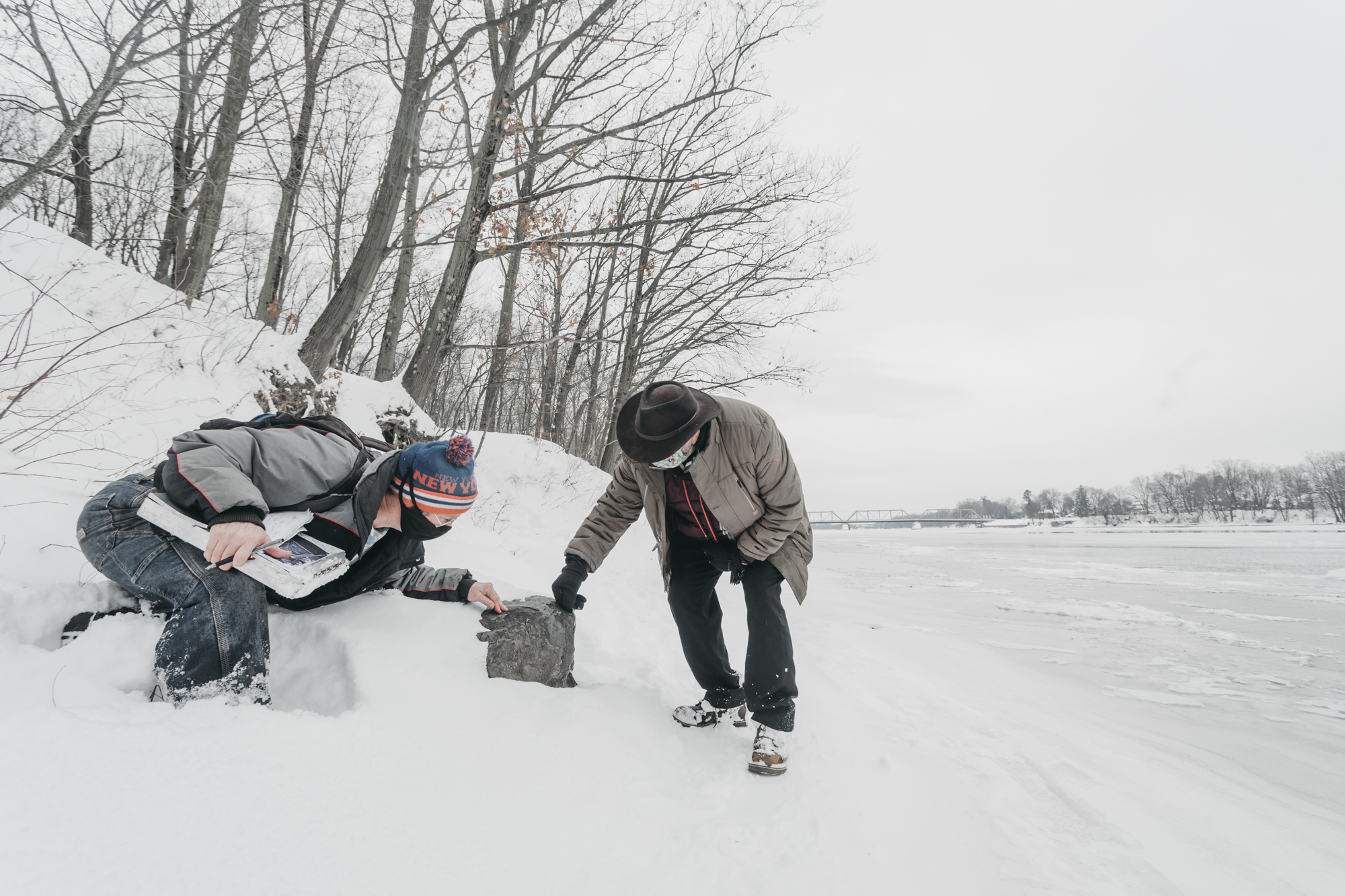
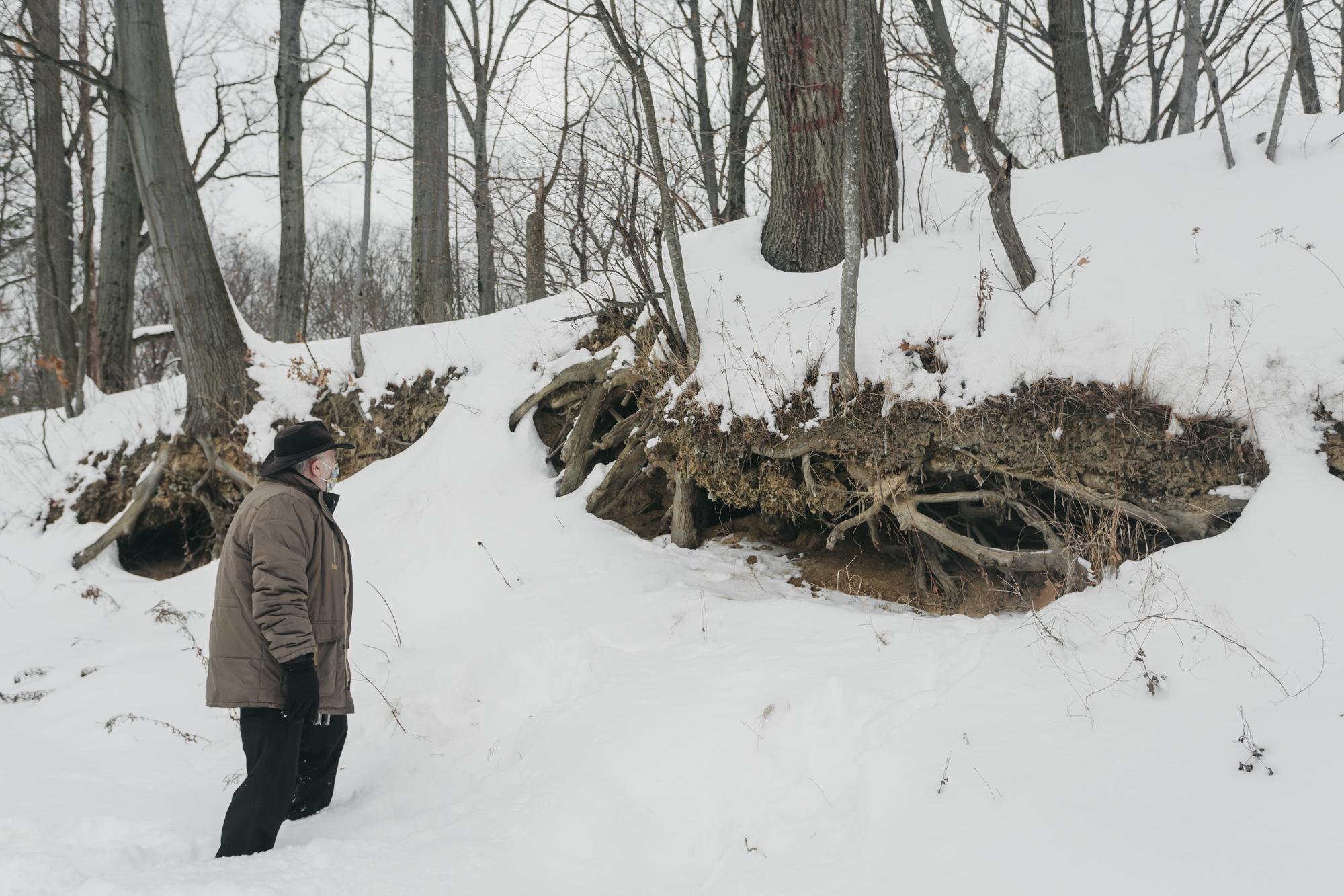
What is more, this site has been used by people for THOUSANDS of years, and includes pre-historic archeological artifacts that show the site’s use by communities as early as 1600-3000 B.C.
Amongst the artifacts that have been found are countless significant ones of members of the Mahican peoples, but also important finds ranging back to prehistoric times. The site was used by the Mahican people as a quarry and tool making site. The site was also identified as the location of semi-permanent and potentially permanent settlements. Some of the studies also mention strong indications for burial sites.
There have been several studies of the site, starting with extensive surveys in the 1980s that consistently showl the historical, archeological and cultural significance of this site, and its eligiblity to be listed in and protected by the National Register.
Several archeological studies have been conducted on this land, with one of the first most significant studies dating back to the 1980ies. The existing reports, studies and academic publications all consistently conclude that the land in question is of high historical and archeological significance, and that the found artifacts justify the registration of this land in the national registry.
This has also been confirmed in personal correspondence with a lead archeologist involved in the recent 2020 survey provided as part of the SEQRA analysis. The report was not yet made available to the public.
According to these studies, the sites contain significant amounts of prehistoric and historic archeological artifacts. The scientific consensus agrees that this site is of high historic, archeological and cultural significance.
The EPA cultural resource survey associated with the 2002 Record of Decision relating the Hudson River remediation also emphasizes the historical-cultural and archeological significance of this site and notes the need for further study of this site for the future — which has not been independently conducted to this date. This report also states the high likelihood of unrecovered extensive archeological resources on this site.
Finally, two previously unrecovered reports associated with the site as well as a second in immediate proximity — both referred together as the Pleasantdale Quarry — explicitly identify the sites as historically and archeologically critical and positively review the archeological record associated with these sites as eligible for the National Register [S1-4].
One of these reports, referenced and thereby submitted as evidence in the record was authored by Hetty Jo Brumbach, Paula Zitzler, the Public Archeology Facility and Rensselaer Polytechnic Institute and discusses the “potential eligibility for nomination to the National Registry of Historic Places”.
On page 81, the authors explicitly state that:
“Stage II survey recovered adequate data to determine that the prehistoric site … appears to meet the criteria for eligibility to the National Register of Historic Places. […] disturbance to the site has been minimal. Very little artifact collection has taken place and few of the residents are aware of the presence of the prehistoric material. Thus, unlike some quarry locations of the Hudson Valley, the site has not been depleted by collectors”
And continue:
“The site also has the potential for providing unique information pertaining to regional prehistory since it is one of the few professionally reported and investigated archaeological sites in Rensselaer County. Thus, the site is capable of yielding information important in prehistory.”
Based on these reports, the site’s unique importance becomes explicit and it becomes clear that the preservation of this site is critical. It also makes clear that its development would lastingly destroy this site and rob the city and its people of a major aspect of its history.
An application for review regarding the eligibility of this site for the National Register is currently in the beginning steps, with first evidence filed on August 24, 2020 with NYS SHPO . Additional supplemental evidence is being sent to SHPO over the course of the next weeks.
According to state and federal law, a DEC SPEDES permit is necessary associated with the ground disturbance of this project exceeding one acre. Other state and federal agency permits or funding may also trigger SHPO involvement.
A coordinator of the SHPO Archeology Unit Program confirms this, stating in official correspondence from August 12, 2020 regarding the site:
“Given the archaeological sensitivity of 1011 2nd Street, the SHPO will likely request an archeological survey to document archaeological sites that are located within this project area, if a survey has not already been undertaken.”
The requirement of Section 106 of the National Historic Preservation Act [S1-5] and Section 14.09 of the State Historic Act [S1-6] is that project impacts to National Register eligible or listed sites are avoided, reduced or mitigated. Mitigation may involve additional archaeological surveys.